


Voting District 30085, Imperial County, California
About
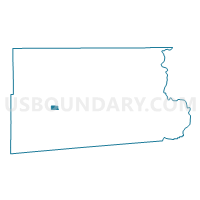
Outline

Summary
| Unique Area Identifier | 531103 |
| Name | Voting District 30085 |
| County | Imperial County |
| State | California |
| Area (square miles) | 6.14 |
| Land Area (square miles) | 6.14 |
| Water Area (square miles) | 0.00 |
| % of Land Area | 100.00 |
| % of Water Area | 0.00 |
| Latitude of the Internal Point | 32.97237960 |
| Longtitude of the Internal Point | -115.70428370 |
Maps


Graphs
Select a template below for downloading or customizing gragh for Voting District 30085, Imperial County, California


Neighbors
Neighoring Voting District (by Name) Neighboring Voting District on the Map
- Voting District 30080, Imperial County, CA
- Voting District 30105, Imperial County, CA
- Voting District 40141, Imperial County, CA
- Voting District 40145, Imperial County, CA
- Voting District 40160, Imperial County, CA
Top 10 Neighboring County Subdivision (by Population) Neighboring County Subdivision on the Map
Top 10 Neighboring Elementary School District (by Population) Neighboring Elementary School District on the Map
- Brawley Elementary School District, CA (25,664)
- Westmorland Union Elementary School District, CA (2,606)